Wednesday, April 7, 2010

Israel, Part 3: Haifa and Akko

During our stay at Zichron Ya'acov, we took a day to drive about an hour north to visit the ancient port of Akko. On our way, we drove up to have breakfast in Haifa which is perched on the slope of Mount Carmel. It was hard to try to capture Haifa itself on camera, but here's the view from Haifa of the bay. :)


And no photos of the wonderful place we ate at for breakfast but here's a photo of Suzy at the cafe....doesn't she look like she just drank an excellent cup of coffee?? :)


OK, on to Akko. Akko contains layers of history and is one of the oldest continually inhabited cities in the world. The Egyptian pharoah Thutmose III mentioned it as one of the cities he conquered in 15th c. BC. The book of Judges mentions how the tribe of Asher failed to drive out the Canaanites from Akko in 8th c. BC. Alexander the Great took it in 322 BC, followed by the Syrians, followed by the Romans, then in 635 AD, the Arabs. 400 years later, the Crusaders converted Akko into a major seaport for the Christian kingdom and when Jerusalem fell to Saladin in 1187, Akko became the capital of the Crusader kingdom. The Arabs recaptured it in 1291 and it became part of the Ottoman Empire in the 16th c. In 1799, Napoleon put Akko under siege for two months but failed to penetrate the fortress. Once the British defeated the Ottoman Empire in World War I, they used this same fortress to hold and even execute members of the Jewish underground movement. The Israelis quickly captured Akko in 1948 in their War of Independence but Akko still maintains its Arab character and I read in my guidebook that it has the highest percentage of Arabs in any Israeli city. Whew....there's the history, here are the photos. :)

The fortress wall:


The Citadel which had been transformed into a prison by the British. Today, it houses a museum and memorial to the Jewish underground resistance movement.


Suzy and I walking down the ramp on the inside of the fortification walls:


Art curiously looking at construction details, I'm guessing. :) This may have been one of the underground Knights' halls from the Crusader era.


Men ritually washing themselves in the fountain before entering the mosque. The mosque was from the Ottoman era.


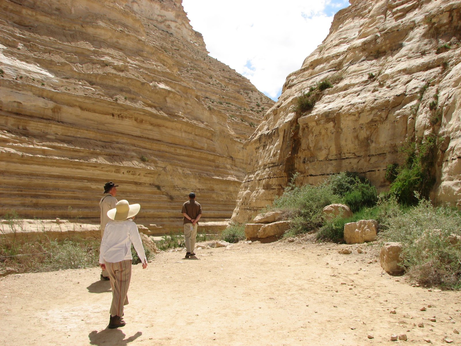
And then some pics of the picturesque interior of the Old City where many of the Arabs live.


Tuesday, April 6, 2010

Israel part 2: The Shephelah and Zichron Ya'acov

The Shephelah is the region of foothills between the coastal plain on the west and the Judean mountains to the east. We drove up through the Shephelah on our way from the southern part of the country up to the northwestern corner near Haifa. The Israelites lived in the Judean mountains while the Philistines occupied the coastal plains so the Shephelah was the site of many Old Testament battles and stories. Here are some photos just to give a feel for the country...I believe this is part of the Valley of Elah where David killed Goliath:


This was the site of Beth Shemesh where the Israelites looked up and saw the ark of the covenant being sent back by the Philistines:


This lush country was about an hour's drive north of the barren Negev desert and we were struck by the stark differences on such a small scale. Then another hour and a half up the coast, we stayed at the small town of Zichron Ya'acov, founded by Baron Edmund de Rothschild in the late 1880s as part of the Zionist movement. We stayed in a renovated horse stable in a family's backyard...isn't it lovely??


Zichron Ya'acov was a very cute town with a neat main street. Here's a photo of the pool Rothschild built in 1891 to provide water for the residents.


Suzy and David sitting at breakfast in a local cafe and then one of the four of us. We're a happy bunch. :)


Monday, April 5, 2010

Israel Part 1: The Negev


Suzy and I standing guard over the luggage before crossing the border to Israel.

For being such a small country (smaller than New Jersey), we were impressed with the widely diverse landscapes in Israel. We spent our first two nights in the Negev desert. Negev is Hebrew for "south" and indeed makes up the bottom half of the country. This is where Abraham, Isaac, and Jacob tended their flocks and where the Israelites waited out their 40 years before entering the promised land. And, folks, this is rugged country. I hadn't realized that when the Bible talks about an area being wilderness, this is what it's referring to.....nary a tree in sight.


We stayed at a hostel called ibike right on the rim of a huge crater called Makhtesh Ramon. The crater wasn't caused by volcanic activity or a meteor but by water erosion. Here's us on the rim at the visitor's center:


We hiked around a few wadis, canyons or riverbeds which provided seasonal water and vegetation, along the ancient Spice Way, a caravan route Nabatean traders used in the 4th bc from Petra to Gaza where their goods were then shipped to Europe. This one was in the crater:


The next day we visited Ein Avdat which is a narrow river canyon in what they think may have been the vast Wilderness of Zin, the area where Moses and the Israelites wandered for forty years (pictured below).


The canyon was beautiful and we even saw some ibex!


We also stopped at the settlement of Avdat which served as a rest stop for the spice caravans, a fortress once the Romans took over, and then as a monastery during the Byzantine era. This is Avdat perched on the hill:


Here's a few pics of the monastery and church. The tomb with the Greek inscription is from the 6th c.


And finally a few photos from the hostel we stayed at. Aviva and Menachem were fun to talk with and I loved Aviva's vegetarian dinner! The following shows Suzy and I chatting over cappucinos, David and Suzy taking a cat nap (I only captured half of Aviva's head in the foreground), and Art and I planning for the next leg of our trip. Stay tuned! :)


Wednesday, March 31, 2010

Valley of the Whales


Hey! Apologies for the small hiatus in posting but David's parents, Art and Suzy (pictured above), were here for the month of March and almost two weeks of that time, we spent in Israel and the Sinai peninsula. More about that in future entries but I wanted to take this post to document our visit to the Valley of the Whales.

The Valley of the Whales is a UNESCO World Heritage site situated in the northwestern corner of the Fayoum delta. They think that this desert valley was the floor of the ancient Eocene sea which reached far south of the existing Mediterranean today. More than 400 whale skeletons have been found here, making it one of the most important fossil deposits in Egypt.

Here is us walking to the kitchen early in the morning to pick up our box lunches. :)


UNESCO has created a nice site here, laying out walking trails that take the visitor to several embedded fossilized mammals which they think may have been the ancestors to our modern whales. Really quite spectacular.


This valley really surprised me as it was unlike anything I'd seen in Egypt. We're hoping to come back soon and camp overnight.

Wednesday, March 10, 2010

Amarna

Last week, a group of us drove about 4 hours south to the ancient city of Amarna. This was no easy task as we had to get permission from the Embassy to drive in that area of Egypt; we had to secure a police escort, submit paperwork to the Embassy and finally found out the afternoon before that, indeed, we could go to Amarna.....whew!

I didn't know anything about Amarna or Akhenaton before I came to Egypt so, for those who don't know, Akhenaten was a pharoah in the 18th dynasty. He was born as Amenhotep IV, named after the main god of that time Amun. He grew up worshipping Amun in the capital city of Thebes but after he became pharoah, for reasons that Egyptologists can only guess at, Amenhotep changed everything. He decided to take a minor god from the Egyptian pantheon, Aton, and elevate him to monotheistic status. He changed his name to Akhenaton which means "It is well with Aton". He moved the capital city from Thebes to a spot hundreds of miles north, creating a new capital called Amarna. There really isn't much left of this city, but remnants of his palace still are visible. Archaeologists back in the 1800s uncovered a beautiful mosaic palace floor which now is displayed in the Egyptian museum in Cairo.


The main attraction of the day were the tombs up in the nearby cliffs. We walked inside four tombs of court officials and what was so fascinating is how different the art is here compared to earlier ancient Egyptian art. Plants and animals look more realistic and humans are depicted very differently. Rather than the stiff cookie-cutter approach, these people have bellies, full hips, elongated heads, and long faces. We were not allowed to bring our cameras inside the tombs, but here are some photos I found online.

Unfortunately, most of the depictions of Akhenaton and his wife Nefertiti were destroyed by Akhenaton's son, Tutankhaton. Once Akhenaton died and Tutankhaton took over the throne, he moved the capital city back to Thebes, changed his name to Tutankhamun to return worship to Amun, and systematically destroyed all evidence that Amarna or his father ever existed. Tutankhamun lived until the ripe old age of 18, they think....a rather insignificant pharoah except for the fact that somehow looters missed his tomb. We know him as King Tut. :)


Aton is a sun god and is depicted as an orb with rays which end in little hands.

Image from Kurohito (http://upload.wikimedia.org/wikipedia/commons/c/ce/Amarna-char_royal.jpg)

Image from Kurohito (http://upload.wikimedia.org/wikipedia/commons/9/98/Amarna2.jpg)


Here's a view of the city from the tombs up on the cliffs. For decades, the Amarna site has been excavated by a group called the Amarna Project which has its home at University of Cambridge. As you can see, most of the city has been reburied by the ubiquitous sand.